What We Learned from the GIS Assessment Project
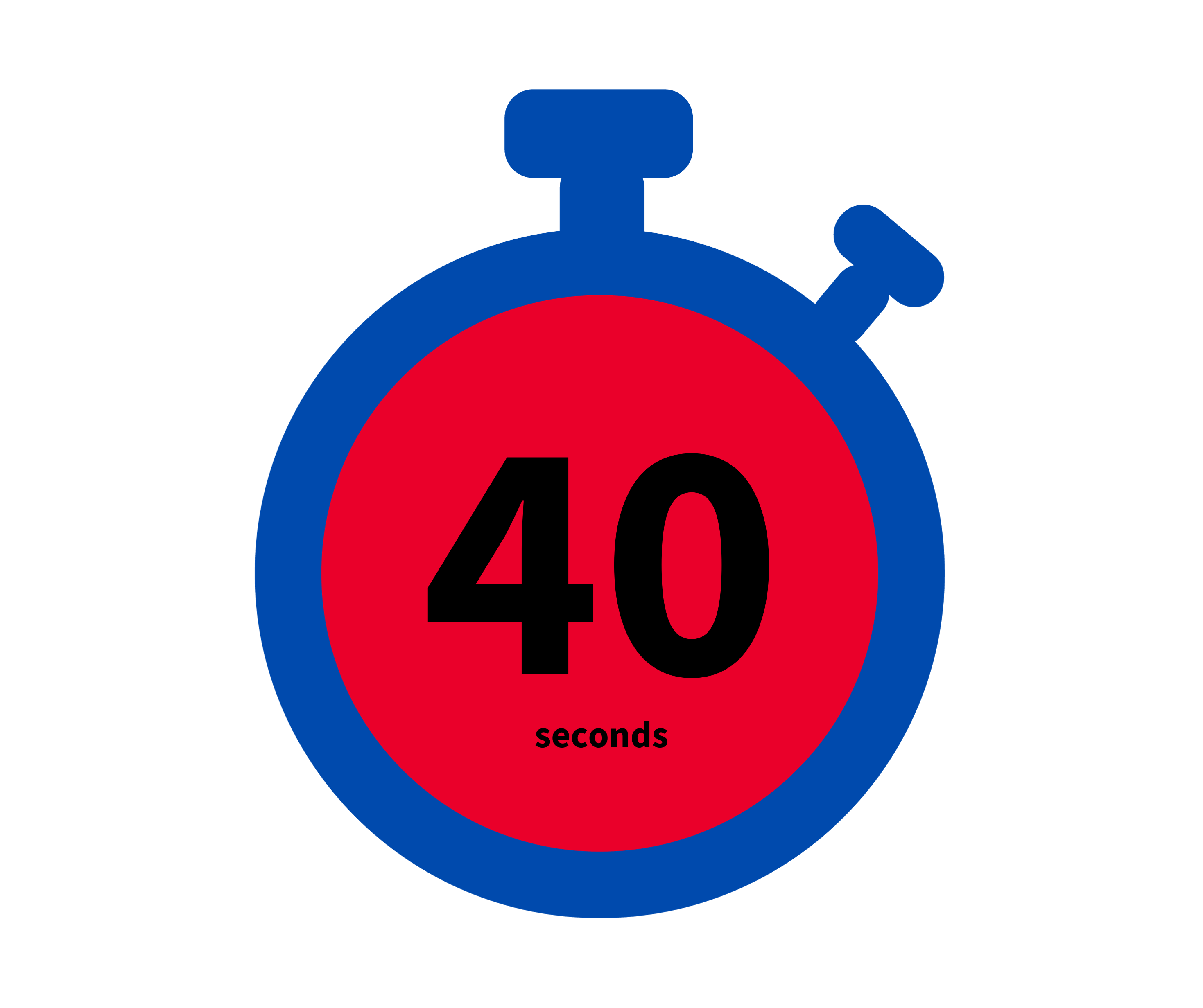
40 seconds. That’s about how long it takes for a call to be transferred to the correct 911 center after first being sent to the wrong 911 center. At least that was one finding in a study of nearly 95,000 911 calls made in 2014 in a county in Washington State.
Getting every emergency call to the right 911 center the first time as quickly as possible is the goal of everyone who works in 911. But we know that doesn’t always happen, in part because location information isn’t always accurate. And of course sometimes a call transfer takes much longer, or can’t happen at all because addressing information isn’t available.
These are just some of the reasons the National 911 Program convened a workgroup to study how geographic information systems (GIS) are functioning in the 911 community and how best to implement a nationwide GIS data-sharing system. A GIS is a spatial system that creates, manages, analyzes and maps all types of data.
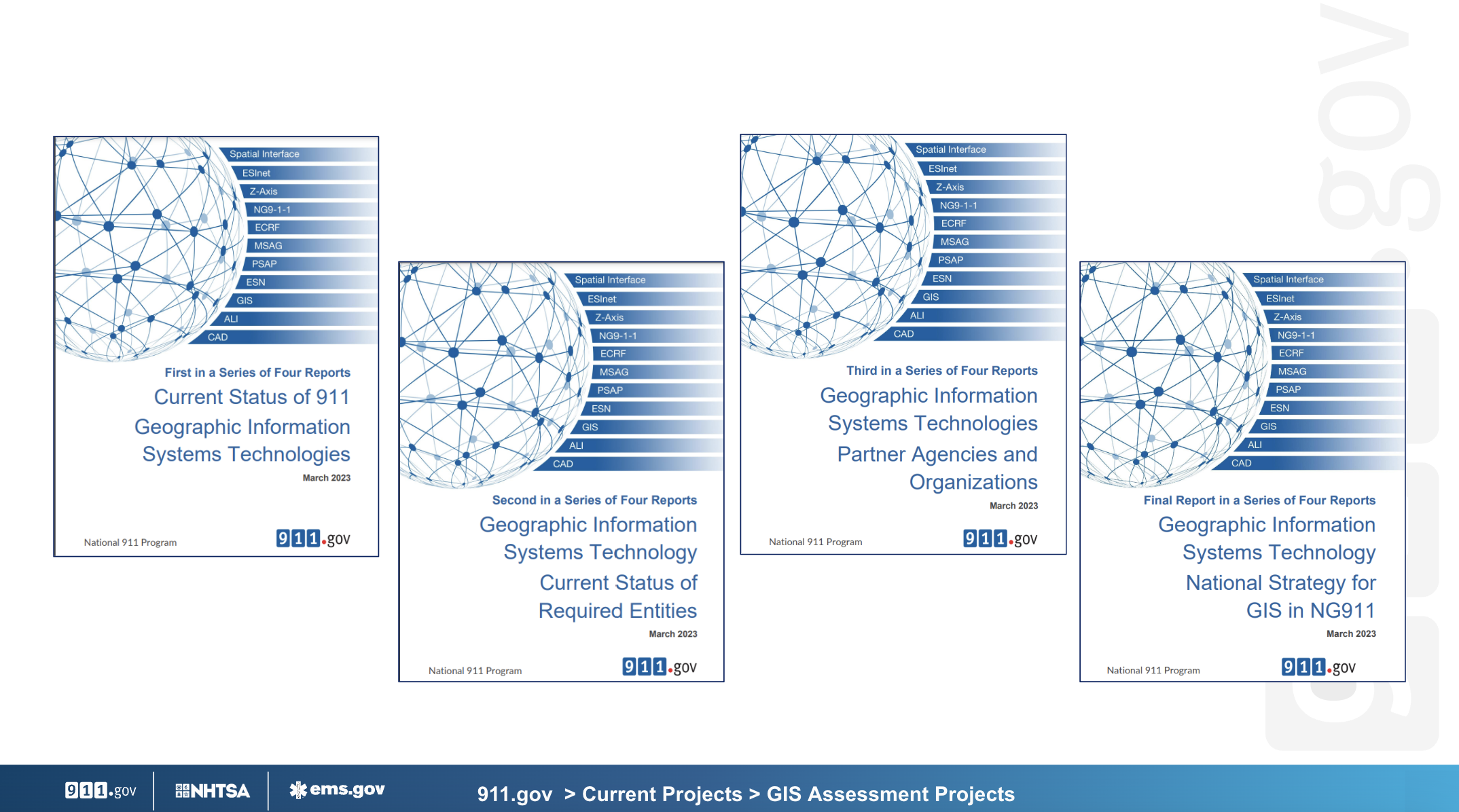
The GIS Assessment Project finished its work earlier this year by issuing its final three reports in early 2023. Here are just a few highlights:
GIS is essential to NG911 migration, but not everyone understands its value or indeed the value of NG911 to emergency communications. (To learn more about Next Generation 911, check out the NG911 for Public Safety Leaders series.)
Creating the right next-generation GIS team, cleaning and maintaining accurate GIS data and finding funding are key elements to a successful GIS and are also common gaps experienced by 911 centers. (These are discussed in more detail in the first report.)
It cannot be overstated how essential collaboration is to creating and maintaining GIS data. The greatest risk to the successful creation of location data for NG911 is not identifying all stakeholders early in planning and engaging them repeatedly throughout the implementation process. This includes agencies at the state, regional, local and Tribal levels, as well as forging partnerships with vendors in the private sector. With the migration to NG911, the emergency communications ecosystem will drastically expand. This means every 911 center will need to work closely with neighboring agencies and others to ensure location data and service boundaries, among other information, are always current and complete. The GIS data developed for NG911 supports not only local operations but also the regional and national fabric of systems tied together to support the next generation of 911 callers. (The third report offers strategic partnership ideas and solutions to overcome common gaps.)
The project’s fourth and final report set out five strategic goals for NG911 GIS, as well as benchmarks by which to measure success. These strategies establish the starting point to provide the greatest return in the shortest amount of time. “The key to success of these strategies first and foremost,” notes the report, “is identifying a champion or partnership for each strategy.”
To read the reports in full, visit the GIS Assessment Project page on 911.gov.
More New Resources
These GIS resources were also recently added to 911.gov’s Docs & Tools:
Next Generation 911 GIS Checklist: This document gathers a series of checklists designed to help Federal, State, local, Territorial and Tribal agencies and organizations create and maintain a GIS program. The checklists detail key tasks and milestones for building a GIS team, preparing GIS data, conducting education, outreach and training, and documenting processes.
Benefits of Open Geographical Information Systems (GIS) Data: GIS data may be collected for a specific purpose such as NG911 or transportation, but that same data can be used across multiple disciplines. Because GIS data is expensive to develop and maintain, and the duplication of datasets greatly increases the cost of maintenance and the risk of conflicting GIS data, open sharing provides additional quality control while also cutting development and maintenance costs.
LiDAR for z-axis Dispatchable Location: Business Case: Knowing the accurate horizontal as well vertical (z-axis) evaluation of an emergency caller can determine the time it takes a first responder to reach an incident. Light detection and ranging (LiDAR) can support GIS data development by providing accurate and precise elevation information for building footprints. This business case is meant to assist jurisdictions in justifying the purchase of LiDAR products for establishing base elevation and building heights necessary for interpreting z-axis data provided by wireless carriers.